The Sierra Foothill Research & Extension Center has unique flora, fauna, and land characteristics. The following pages offer detailed information about the local climate, plants, wildlife, and soils found on this 5,700 acre foothill landscape.
Climate Change Data
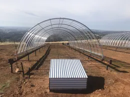
Place holder to add data and information generated from the infrastructure that regulates rainfall amounts and increase ambient air temperatures.
Plants at SFREC
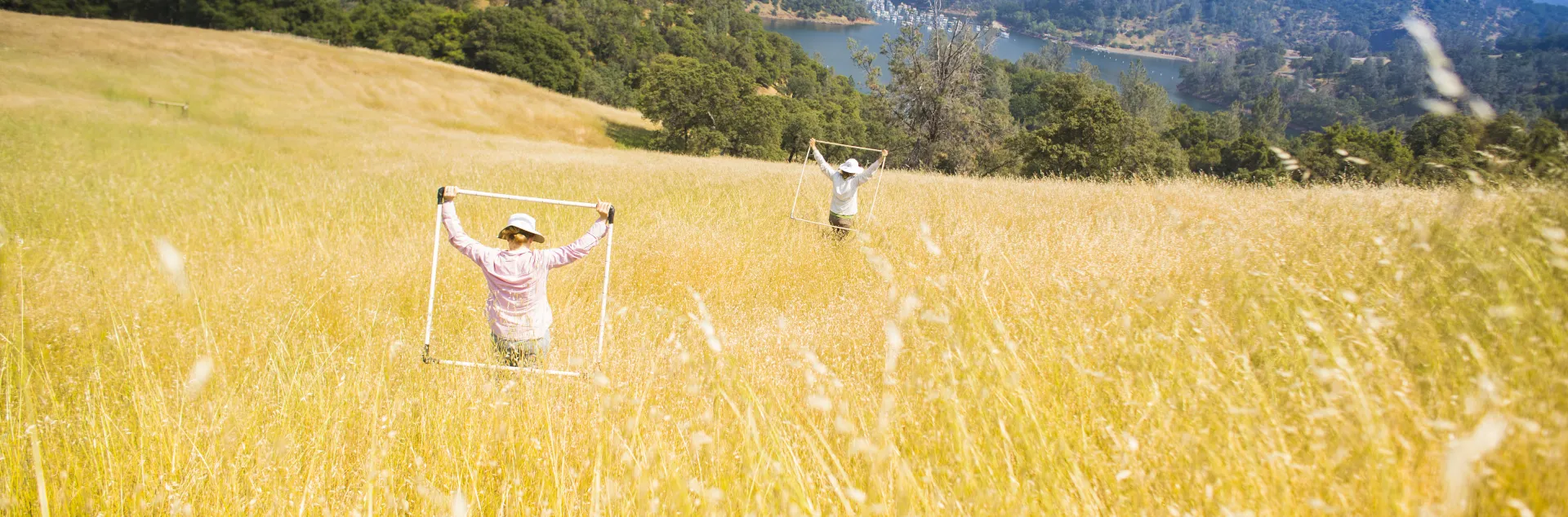
Unmodified foothill woodland-grassland -- The major trees are blue oak and interior live oak, ranging from 40 to 200+ trees per acre. There are some foothill pine and, at higher elevations, black oak and ponderosa pine. Common shrubs include buckbrush, toyon and poison oak. Major forbs include filaree, annual clovers and geranium. Common annual grass species are soft chess, ripgut brome, red brome, annual fescue, wild oats, and medusahead. Perennial grasses include purple stipa. Cleared areas -- Most trees and shrubs have been removed; most resident grasses and forbs remain. Trees have been reduced to 4 to 50 per acre. In one area they have been removed completely. Some areas have been seeded to improved species, including subterranean clover, rose clover, Hardinggrass and ryegrass.
Animals at SFREC
Oak woodlands in California provide one of the richest habitats in the state for wildlife. It is estimated that approximately half of California's 660 terrestrial vertebrate species utilize oak woodlands at some time during the year. Some of the common mammals at the Center are squirrels, deer, racoons, skunks, foxes, bobcats, coyotes and occasionally, mountain lions. Reptiles include fence lizards, skinks, whiptails, alligator lizards, garter snakes, rattlesnakes, gopher snakes and kingsnakes. Several years ago, a research project conducted a thorough inventory of bird species found at the Center, which is listed below.
Soils & Geology
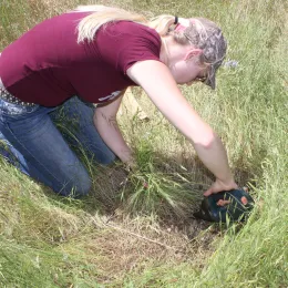
Five soil series dominate. Four, usually intermingled, are developed from basic metavolcanic rocks: Auburn, the most extensive, is loam in texture, 1-2 feet deep, well drained and slightly acid; Sobrante, similar to Auburn but 1.5-3 feet deep with slightly more clay in the subsoil; Las Posas and Argonaut, 1.5-3.5 feet deep with clayey subsoils. The fifth series is Wyman, 4-5 feet deep, loam with clay-loam subsoil, formed in alluvium from the four series previously described.
- Map and Legend of SFREC Soils
- UC Davis Soil Resource Laboratory
- SoilWeb: An Online Soil Survey Browser
Range Forage Production
SFREC has over 40 years of rangeland forage production and environmental data. This information is widely used for assessing how current-year forage production compares to previous years and for forecasting potential trajectories of peak forage production for the current growing season.
View the Site Weather Station Data and web application for Forage Production & Historical Weather Data. This link is for Historical Forage Data 1979-2024.